London canal walking guide: self-guided walks for visitors
London’s best canal walks are the Regent’s Canal (Little Venice to Limehouse, 8.6 miles), the Grand Union/Paddington Arm short loop (under 2 miles), and the Limehouse Cut through Docklands. All three follow flat towpaths with strong Tube or DLR connections at either end. Here is how they compare at a glance:
- Regent’s Canal, full length — 8.6 miles (13.8 km), 3.5–4.5 hours walking without stops; plan a half-day. Best for: anyone who wants the full sweep of London’s neighbourhoods, from Maida Vale to the East End. Start at Warwick Avenue (Bakerloo line), finish at Limehouse DLR.
- Little Venice to Camden only — 2 miles, roughly 45–60 minutes. Best for: families, first-timers, and anyone with limited time who wants the prettiest stretch.
- Paddington Arm / Grand Union loop — under 2 miles, 30–45 minutes. Best for: short visits, those staying near Paddington, or a pre-train stroll.
- Limehouse Cut / Docklands — approximately 1.5 miles from Limehouse Basin toward Bow, 30–40 minutes. Best for: industrial heritage, modern regeneration, and photographers.
Pro Tip: Walk west to east on the Regent’s Canal so you finish at Limehouse, where DLR connections take you straight to Canary Wharf or the City without doubling back.
Table of Contents
- Regent’s Canal: Little Venice to Camden step by step
- What to see on the Paddington Arm and Grand Union loop
- Docklands and Limehouse Cut: east London’s industrial waterways
- What you need to know before you walk
- Are guided canal walks worth booking?
- Why London’s canals feel unlike anywhere else in the city
- Key takeaways
- Why canal walks are the best thing most visitors skip
- London Vacation Guide’s resources for planning your canal walk
- Useful sources and official maps
- FAQ
Regent’s Canal: Little Venice to Camden step by step
This 2-mile stretch is the classic short section and the one most visitors do first. The Canal & River Trust provides an official route map with OS grid references (start: Little Venice, OS ref TQ258818; finish: Camden Lock, OS ref TQ284840), downloadable from their website before you set out.
| Segment | Distance | Time | Key POI | Nearest station |
|---|---|---|---|---|
| Little Venice → Lisson Grove | — | — | Puppet Theatre Barge, basin moorings | Warwick Avenue (Bakerloo) |
| Lisson Grove → Regent’s Park edge | — | — | Regent’s Park boundary wall, Zoo glimpses | Marylebone (Bakerloo) |
| Regent’s Park edge → Cumberland Basin | — | — | Narrowboats, willow trees | — |
| Cumberland Basin → Camden Lock | — | — | Camden Lock market, lock gates | Camden Town (Northern) |
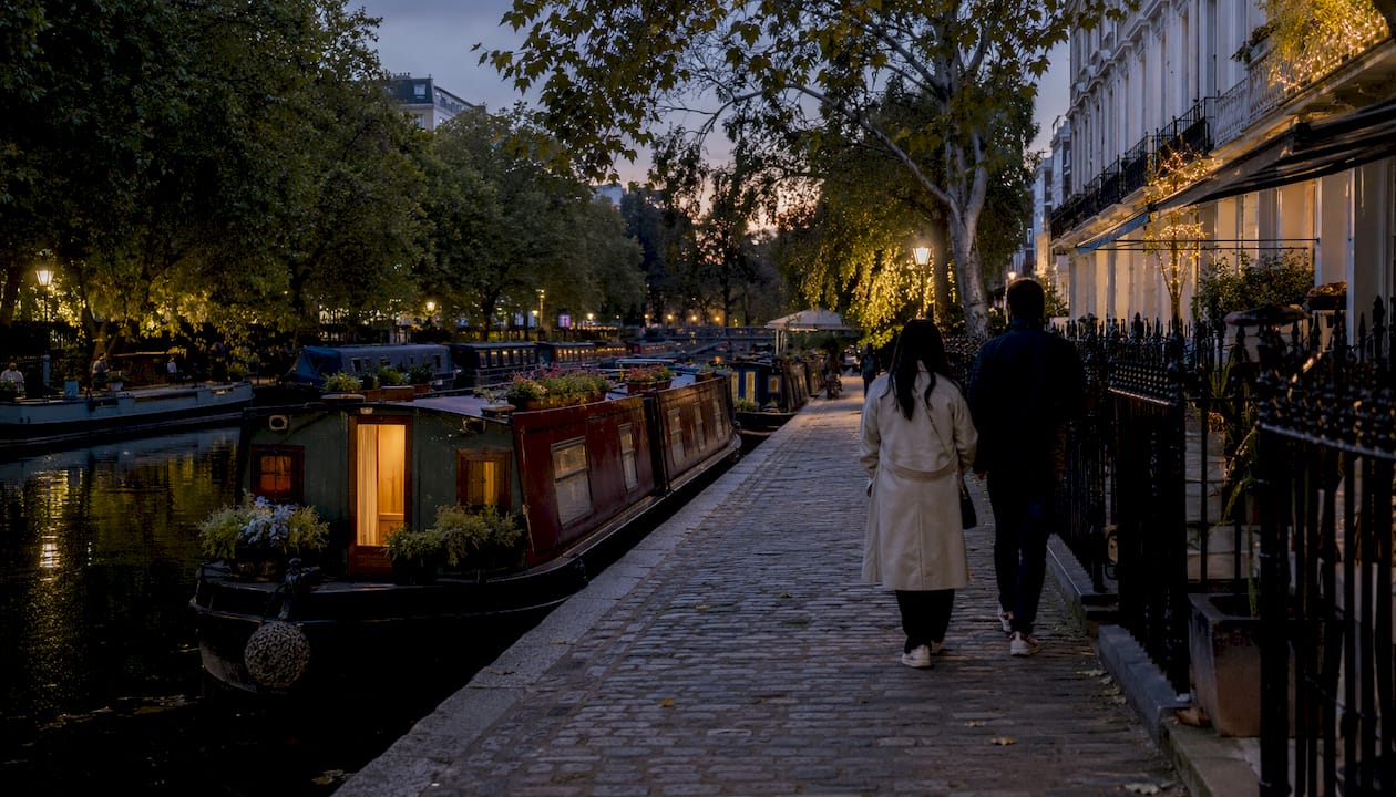
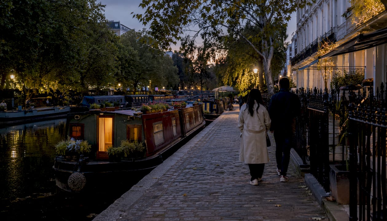
Start at Warwick Avenue station. Walk south on Warwick Avenue and turn left onto Blomfield Road, where you will see the Little Venice basin immediately. The water here is wide and calm, ringed by cream stucco houses and moored narrowboats painted in traditional reds and greens. The Puppet Theatre Barge is moored here permanently and is worth a look even if you are not catching a show.
From the basin, pick up the towpath heading east. The path runs along the north bank and is paved for most of this stretch. You will pass under a series of low brick bridges — keep your head up for cyclists coming through. After about half a mile, the canal skirts the western edge of Regent’s Park. You cannot enter the park directly from the towpath here, but the tree canopy and the distant sounds of the zoo make it feel surprisingly rural for central London.
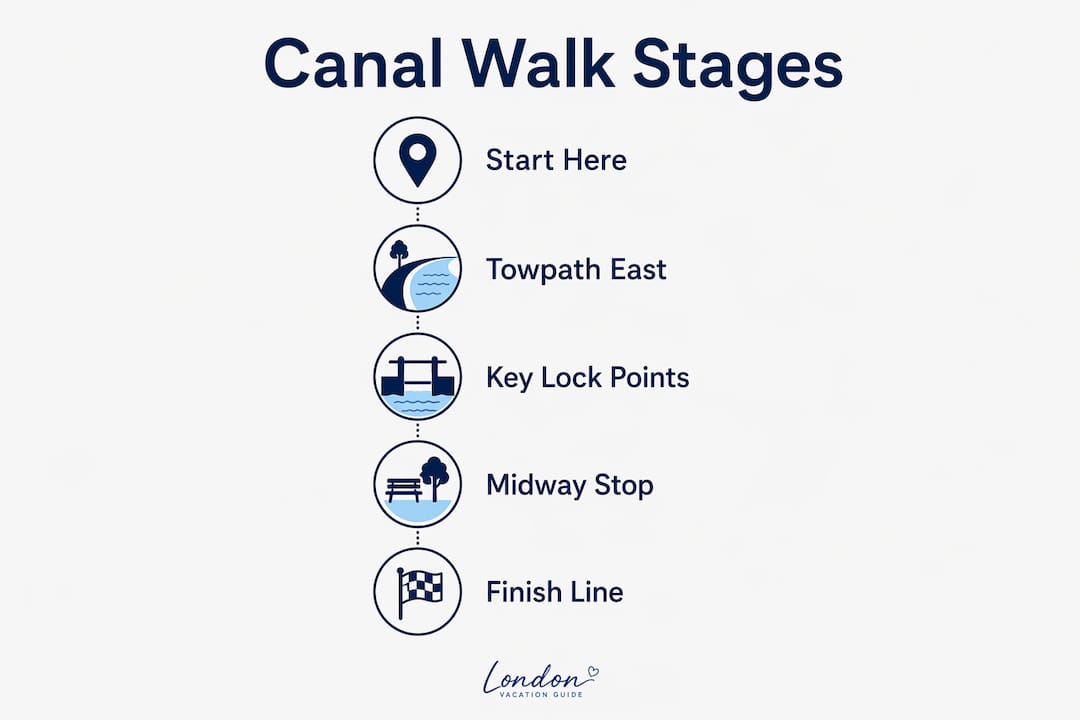
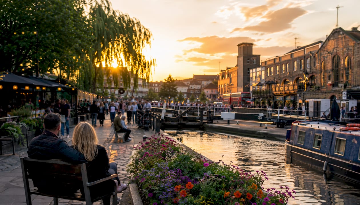
At Cumberland Basin the canal widens slightly. Continue east and the path narrows before opening out at Camden Lock. The lock gates themselves are a good photo stop, and the market stalls begin just beyond them. Camden Town station is a three-minute walk north.
What to see on the Paddington Arm and Grand Union loop
For a compact urban waterside walk near Paddington, the short loop around Paddington Basin and the first section of the Paddington Arm (part of the Grand Union Canal) takes under an hour and rewards you with some of London’s more interesting modern canal architecture.
- Start at Paddington Basin (nearest station: Paddington, Elizabeth/Bakerloo/Circle lines). Descend to the waterside via the steps on Sheldon Square.
- Walk west along the north bank of the basin, passing the rolling bridge and the fan bridge — both are engineering curiosities worth pausing at.
- Continue onto the Paddington Arm towpath heading west toward Little Venice, roughly 0.7 miles.
- At Little Venice basin, cross at Westbourne Terrace Road bridge and return east along the south bank.
- Finish back at Paddington Basin, where several cafés and restaurants face the water.
The towpath surface here is well-maintained tarmac throughout, making it one of the more accessible stretches on the network. Cyclists share the path, but the width is generous enough that it rarely feels crowded outside weekend afternoons.
- Terrain: flat tarmac, no steps on the main loop
- Refreshments: Paddington Basin has multiple waterside cafés; Little Venice has the Café Laville above the canal
- Combining with other attractions: Paddington station is the obvious gateway, but the Paddington neighbourhood has independent restaurants and the Hyde Park entrance is a 15-minute walk south
Docklands and Limehouse Cut: east London’s industrial waterways
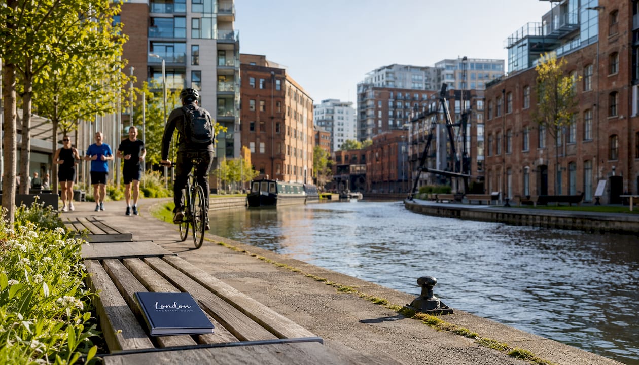
The east London canal network tells a different story from the leafy west. Here the water runs between former wharves, converted warehouses and new glass towers, and the contrast is what makes it worth the trip.
| Segment | Distance | Time | Key POI | Access |
|---|---|---|---|---|
| Victoria Park / Mile End to Old Ford Lock | — | — | Mile End Lock, lock-keeper’s cottage (1864), Mile End Park | Mile End (District/Hammersmith & City) |
| Old Ford Lock to Limehouse Basin | — | 30–40 min | Three Mills (detour south), Limehouse Basin marina | Limehouse DLR |
| Limehouse Cut (Limehouse to Bow) | ~1.5 miles | 30–40 min | Industrial brick bridges, Bow Locks | Bromley-by-Bow (District) |
Start at Mile End station and descend to the canal at Mile End Road Bridge. The lock-keeper’s cottage here dates from 1864 and is now part of Queen Mary’s University of London — a neat example of how the canal’s working infrastructure has been absorbed into the city’s fabric. Mile End Park runs along the east bank, a 32-hectare linear park with picnic benches and wildlife ponds.
Continue east to Old Ford Lock, where the canal meets the edge of Victoria Park. At the junction with the Hertford Union Canal, you can detour south toward Three Mills, one of the best-preserved tidal mill complexes in England. Most walkers continue east along the Regent’s Canal toward Limehouse Basin, where the canal meets the Thames. The basin is now a marina, and the contrast between the old dock walls and the Canary Wharf towers behind them is striking.
The King’s Cross to Victoria Park stretch (approximately 3.5 km) is worth singling out for variety: Coal Drops Yard and Granary Square at the western end offer food and facilities, and the route through Hackney passes street art, pop-up bars and quieter green stretches. The Hackney neighbourhood guide covers the best stops near this section.
What you need to know before you walk
The Regent’s Canal towpath is predominantly flat and paved or gravel-surfaced, suitable for most fitness levels. That said, a few practical points catch people out.
- Shared use: cyclists have equal right of way on the towpath. Keep to the left, listen for bells, and do not walk two abreast on narrow sections.
- Accessibility: the canal is not fully step-free. Several bridges have steps, and the Islington Tunnel (878 metres long) requires a signed street diversion via Muriel Street and Maygood Street. Check the Canal & River Trust accessibility map before setting out if step-free access matters to your group.
- What to pack: waterproof layer (the towpath offers little shelter), comfortable flat shoes or trainers, a full water bottle, a charged phone with the route map downloaded offline, and a contactless card. Most canal-side cafés are card-only.
- Toilets: available at Camden Lock market, Granary Square (King’s Cross), Victoria Park and Limehouse Basin. Between these points, options are limited.
- Safety: stay at least a metre back from the canal edge, particularly with children. The water is cold year-round and the banks can be slippery after rain. In an emergency, call 999; the Canal & River Trust emergency line is 0800 47 999 47.
Pro Tip: Early mornings on weekdays are quieter for photography and wildlife spotting. Herons, coots and the occasional kingfisher are most active before 9 AM.
Are guided canal walks worth booking?
A self-guided walk covers the geography. A guided walk covers the stories behind it, and the difference is more significant than it sounds on a route where half the interest is historical.
Guided canal walks in London typically run as two-hour themed routes or longer private group tours, covering sections such as Little Venice to Camden or the King’s Cross regeneration stretch. London Walks offers themed canal walks as part of its regular programme; check their current schedule and pricing directly, as it varies by season. The guided walks listing on London Vacation Guide is a practical starting point for finding current options.
What a guide adds: access to the stories behind the locks (why the Regent’s Canal has two-chamber locks, for instance), architectural context for the converted gasholders near King’s Cross, and the kind of local knowledge that does not appear on any map. If you are visiting with a group or have a particular interest in industrial history or wildlife, a guided option is worth the cost. For the practical case for booking a guide, the advantages of guided walks in London covers it well.
Booking tips: most operators ask for a meeting point rather than a fixed address, so confirm the exact location when you book. Cancellation policies vary; check before paying. Group sizes on public walks are typically capped at around 15–20 people.
Why London’s canals feel unlike anywhere else in the city
The Regent’s Canal opened in 1820, built to connect the Grand Union Canal at Paddington with the Thames at Limehouse. Its route was not accidental. John Nash routed the canal around Regent’s Park partly to satisfy local residents who objected to a working waterway cutting through their neighbourhood — a compromise that created the leafy, tranquil northern edge walkers enjoy today.
The canal’s routing decisions in the early 19th century did more than move goods. They shaped which neighbourhoods became fashionable and which became industrial, a division you can still read in the architecture on either bank as you walk east from Maida Vale toward Hackney.
That east-west contrast is one of the most interesting things to notice on a full-length walk. The western sections, from Little Venice through Regent’s Park, are lined with white stucco and private gardens. By the time you reach Haggerston and London Fields, the banks are brick warehouses, street art and converted industrial buildings. The canal did not just pass through these neighbourhoods; it defined them.
A few things to look out for: the deep rope grooves worn into lock stonework by tow-horse ropes, the converted gasholders near King’s Cross (now luxury flats), and the lock-keeper’s cottages that appear at intervals along the route, most still standing in their original form. The Islington Tunnel diversion is also worth taking slowly — the street-level route through Angel gives you a different perspective on how the canal sits below the city.
Canal walking reveals heritage, wildlife and local businesses that are simply invisible from the Underground or a bus window. That is not a small thing in a city this dense.
Key takeaways
London’s canal walks are most rewarding when treated as modular segments rather than a single all-or-nothing route, with the Regent’s Canal’s Little Venice to Camden section being the single best starting point for most visitors.
| Point | Details |
|---|---|
| Best starting route | Little Venice to Camden (2 miles, ~45–60 min) suits most visitors and families. |
| Full canal length | Regent’s Canal runs 8.6 miles; allow 3.5–4.5 hours walking, or a half-day with stops. |
| Accessibility check | Not fully step-free; consult the Canal & River Trust map before setting out if needed. |
| Direction of travel | Walk west to east to finish at Limehouse DLR for easy onward connections. |
| London Vacation Guide | Use the neighbourhood guides for Angel and Hackney to plan food stops and detours along the route. |
Why canal walks are the best thing most visitors skip
There is a tendency to treat London’s canals as a bonus — something you do if you have an extra afternoon. That framing undersells them. A canal walk is not a supplement to seeing London; for certain stretches, it is the best way to see it.
The pace is the point. You are moving at 3 mph through neighbourhoods that most visitors never reach because there is no Tube stop and no obvious reason to go. The canal forces a different kind of attention: you notice the narrowboats, the birdlife, the back gardens, the way the city changes character every half mile. It is the slower pace, the hidden viewpoints, and the occasional heron standing completely still on a lock gate that make these walks memorable.
Who benefits most? Families with older children who can manage 2–3 miles on a flat path. Photographers who want London without the crowds. Anyone staying more than three days who has done the obvious attractions and wants something that feels genuinely local. And first-time visitors who are willing to swap one museum afternoon for a half-day outside.
The routes in this guide are all accessible by public transport, all flat, and all free. There is no good reason not to do at least one.
London Vacation Guide’s resources for planning your canal walk
Planning a canal walk is straightforward once you know which section fits your schedule. London Vacation Guide brings together neighbourhood guides, first-time visitor itineraries, and listings for cafés, pubs and guided tours near every major canal access point.
The Angel neighbourhood guide covers the Islington section of the Regent’s Canal in detail, including where to eat after the walk. The Hackney guide picks up the eastern stretch from Victoria Park through Haggerston. For guided walk bookings, the London Walks listing on the site gives you current schedules and meeting points in one place. If you are building a full day around a canal walk, the first-time visitor itinerary is the practical place to start.
Useful sources and official maps
Before setting out, download a route map or check accessibility details from these official sources:
- Canal & River Trust (canalrivertrust.org.uk) — official route pages for Little Venice to Camden and Mile End to Old Ford Lock, with OS grid references, downloadable maps and an accessibility map showing step-free sections.
- The Outdoor Guide (theoutdoorguide.co.uk) — detailed Regent’s Canal walk page with route overview, distance notes and practical tips for the full 9-mile route from Little Venice to the Thames.
- Transport for London (tfl.gov.uk) — Limehouse DLR station information for onward connections after finishing the east London sections.
- London Walks (walks.com) — guided canal walk schedules, themed routes and booking information for organised outings.
Download a GPX or PDF route map from the Canal & River Trust before you leave, particularly if you plan to walk sections without reliable mobile signal underground near the Islington Tunnel diversion.
FAQ
How long is the Regent’s Canal walk end to end?
The Regent’s Canal runs 8.6 miles (13.8 km) from Little Venice to Limehouse Basin. Walking the full length takes 3.5–4.5 hours without stops; most people allow a half-day.
Which canal walk in London is best for families?
The Little Venice to Camden section (2 miles, roughly 45–60 minutes) is the most family-friendly: flat, well-surfaced, and close to Camden Lock market and Regent’s Park at either end.
Is the Regent’s Canal towpath accessible for wheelchair users?
Not fully. Several bridges have steps and the Islington Tunnel requires a street diversion. The Canal & River Trust accessibility map is the most reliable guide to step-free sections before you plan your route.
Where should I finish a canal walk for the easiest transport home?
Finish at Limehouse, where the DLR connects directly to Canary Wharf and central London. Walking west to east along the Regent’s Canal puts you there naturally at the end of the route.
Do I need to book a guided canal walk in advance?
For public themed walks, booking ahead is advisable in summer and at weekends when places fill quickly. Private group tours always require advance booking. Check current availability through the London Walks listing on London Vacation Guide.
Recommended
- What is a guided walking tour? Your London guide - The London Journal | London Vacation Guide
- Advantages of guided walks in London: your 2026 guide - The London Journal | London Vacation Guide
- London Walks - Tours in Westminster | London Vacation Guide
- What is a city walk? Your complete 2026 guide - The London Journal | London Vacation Guide